Winding your way downhill
Tobogganing
Tobogganing fun for the whole family is by no ways neglected in Pitztal! Whether under a starry sky or accompanied by the warming sun.
If you fancy combining tobogganing fun with a winter walk, you are in the right place in Pitztal in Tyrol. The Pitztal natural toboggan run promises a winter experience of a special kind. Don’t feel like climbing the mountain on foot? Then the 6 km long toboggan run on the Hochzeiger is just the thing for you.
Our tip: Night tobogganing
Several toboggan runs in Pitztal are floodlit, therefore possible to use in the evenings.
- From the Hochzeiger mid-station to Kaitanger, Liss
- Floodlit on the tobogganing evening (Thursday)
- Ascent to the Hochzeiger mid-station with the gondola
- Awarded with the natural tobogganing seal of approval
- Starting point: 2020m
- Finish: 1456m
- Tobogganing evening: Thursday, Friday and Saturday from 6 pm to 9 pm
- Floodlit, 1.5km long
- Open other days for group reservations
- Toboggan hire available from the Pitztaler Schihütte € 5.00
- Return toboggans to the Pitztaler Alm in Mandarfen
The Natural toboggan run in Arzl is slightly out of the village centre. From the Information office uphill to MPreis, turn right and then follow the path to Imsterberg. In approx. 1,5 km you will reach the toboggan run.
- A gradient of 10 -15 %
- Toboggan run is not floodlit
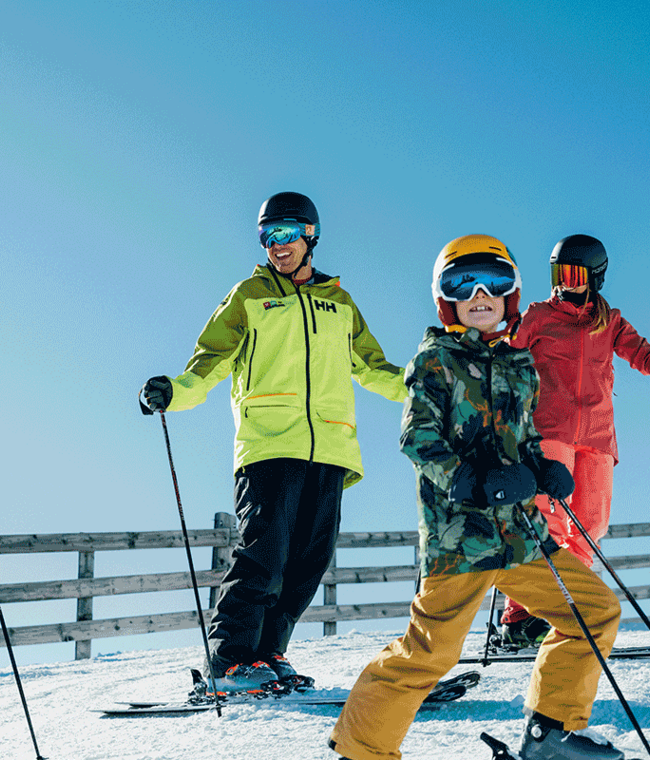
Right next to the Hotel Mittagskogel in Mandarfen is the 20,000 sqm Bambini kinderland with a practice lift. Downhill you can go on a goal run through funny Pitzi figures or on the wave run. On child-friendly conveyor belts, it’s a comfortable ride back to the top. This practice slope is perfect for the first ski turns.
Regardless of whether ski or snowboard – in the Club Alpin Ski & Snowboard school Pitztal both adults and children can learn or perfect their favourite winter sport in a playful way. The experienced instructors offer private as well as group lessons and provide a large portion of fun and entertainment with an appealing, individual programme.
to the ski school Club Alpin
ACTIVE RELAXATION
Numerous winter walking paths
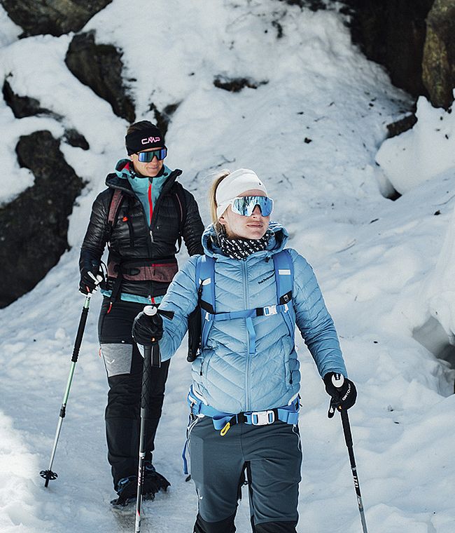
On Pitztal’s freshly groomed hiking trails through snow-covered forests. Move around the snowy winter landscape without much effort. Your path leads through forests and over snowfields, along frozen streams and brooks. A real experience in deep winter as well as in the warming spring sun.
Our tip:
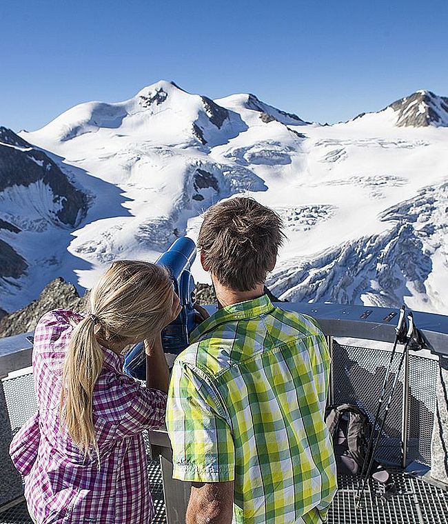
A winter hike in the deeply snow-covered Rifflsee area ensures pure relaxation and recreation. Even the ascent with the cable car offers an impressive view of the mountains of the Pitztal Alps. On a hike to the deeply snow-covered Rifflsee or to the Rifflsee hut, you can feel the crisp air and enjoy the magnificent view of the surrounding 3000-metre peaks.
Altitude: 90m
Length: 1,5 km
Walking time: 40 min.
You hike from the Rifflesee mountain station along the edge of the ski slope to the Sunna Alm cable car top station and on towards the Rifflsee hut, which offers the first opportunity to stop for refreshments. Strengthened, you hike back along the same path to the starting point. Once you have reached the starting point, the Sunna Alm offers the second refreshment stop before you take the gondola back down to the valley. A valid pedestrian ticket or ski pass is required for the ascent to the starting point..
Interactive map
Altitude: 110m
Length: 3 km
Walking time: approx. 1 h
From the Mandarfen Rifflseebahn bus stop, walk past the Rifflsee gondola station in the direction of the bridge. After the bridge turn left and follow the valley track in the direction of Mittelberg, then hike a short section from the edge of the ski slope in the direction of the Pitztaler skihütte. After a stop for refreshments, walk back along the same path to the starting point.
Interactive map
Altitude: 1738m - 1780m
Route number: 3
Difficulty: WI 3 - WI 5
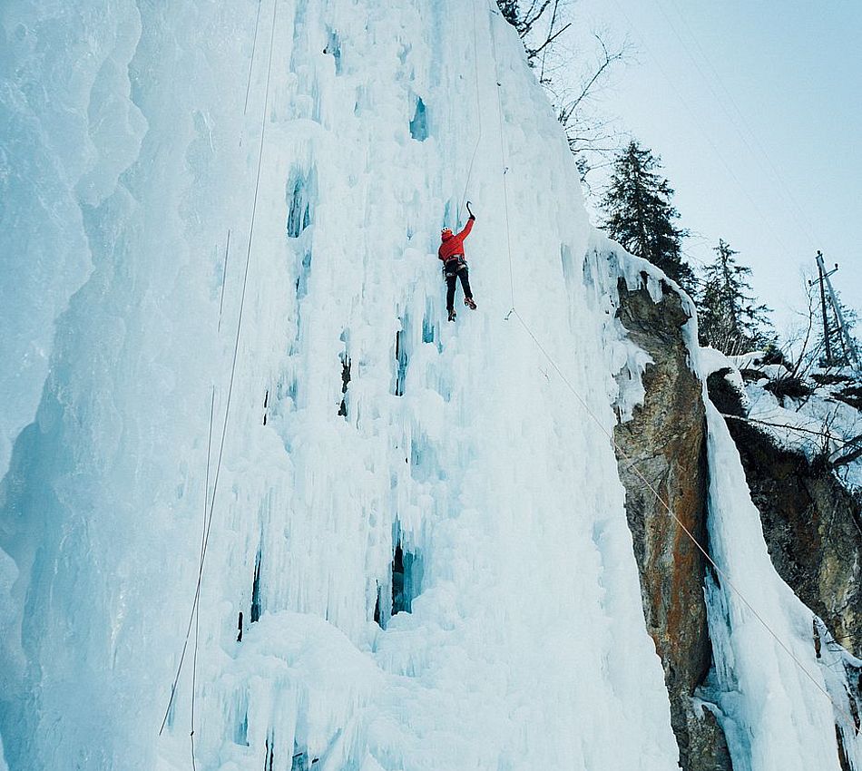
In the Taschach Gorge, which is close to the Pitztal Glacier Cable Car, there is a beautiful, varied ice climbing garden with easy tours. There are also some mixed routes secured with bolts.
Avalanche danger: none
Interaktive Karte
Altitude: 1407m - 1450m
Route number: 1
Difficulty: WI 3 - WI 4+
Medium difficulty, long and well-stepped icefall. After almost every steep step it is possible to get out of the icefall. The icefall is popular with courses.
Avalanche danger: minimum
Interactive map
Altitude: 1396m - 1650m
Route number: 1
Difficulty: WI 3 - WI 5
Difficult, steep and wide icefall.
Avalanche danger minimum
Interactive map
EXPERIENCE NATURE IN A DIFFERENT WAY
Snow-shoe walking
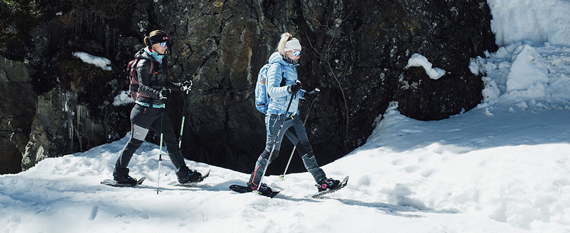
When the hustle and bustle begins in Tyrol’s ski resorts from mid-December, peace and quiet retreat to the snow-covered landscapes away from the lifts and slopes. Signposted snow-shoe trails in the Pitztal show enthusiastic hikers the way.
Our tip:
The hiking guides of the ski school Pitztal will lead you safely to the most beautiful places in the Pitztal.
Altitude: 668m
Length 21km
Highest point: 1691m
The valley walking path is located alongside the river Pitze and leads from Mittelberg to Wiese. Very popular with all walkers and locals. The starting point can be anywhere in St Leonhard, either walking into or out of the valley. The return walk can be made as you wish. Either the same route or with the Regio bus.
Interacive map
Altitude: 498m
Length: 9,3km
Walking time / Ascent: 2:15 h
We recommend this hike with a mountain guide!
Interacive map
Altitude: 105m
Length: 1,5km
Walking time/Ascent: 0:45 h
You hike from Mandarfen in the direction of the Taschachtal. Attention: the route isn’t marked!
We recommend this hike with a mountain guide.
Interactive map
![[Translate to EN:] Instagram [Translate to EN:] Instagram](https://www.adlerhof-pitztal.at/fileadmin/svgs/footer_instagram.svg)
